
QGIS projects
17 projects where I used QGIS, each with the problem and what I did.
Projects
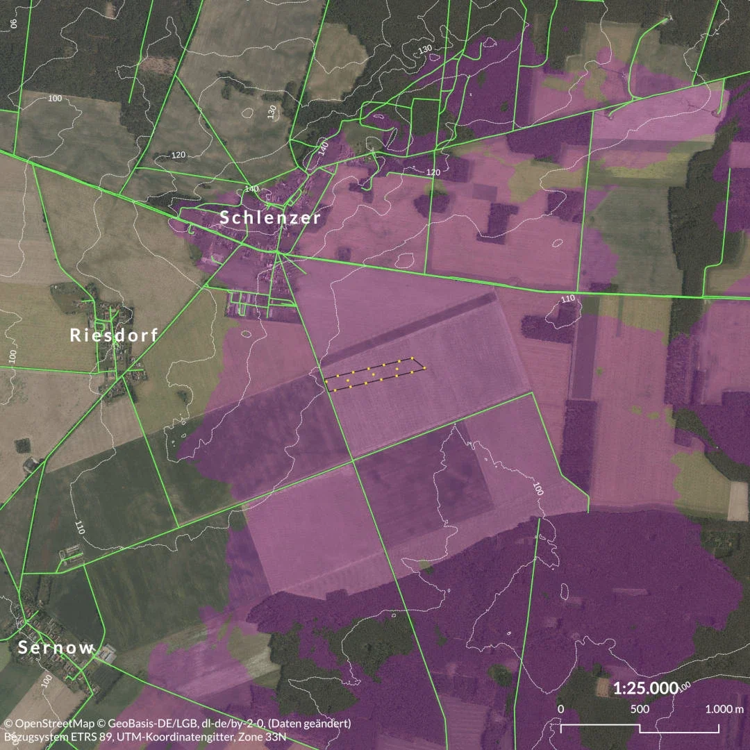
Solar park visibility analysis
Blueberry Energy, 2024
Viewshed maps for a planning application in Brandenburg
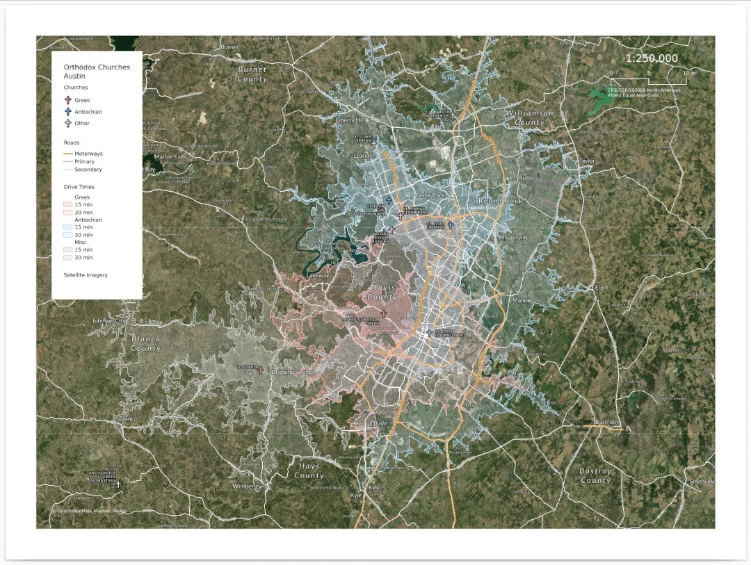
Site-selection maps for a church in Texas
RubiCrown Commercial Real Estate, 2024
Income and drive-time maps for placing a new church
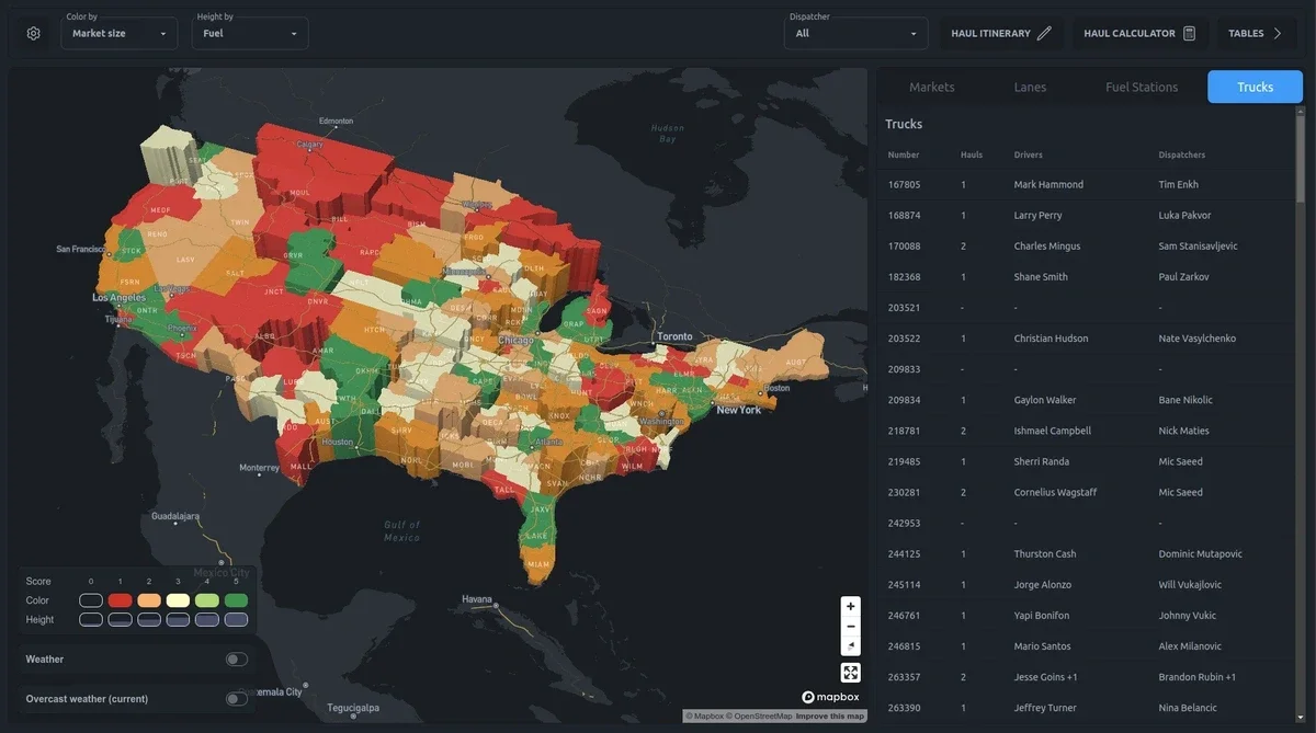
Map dashboard for freight logistics
Private Start-Up Client, 2024
Fleet management and real-time market analytics on one map
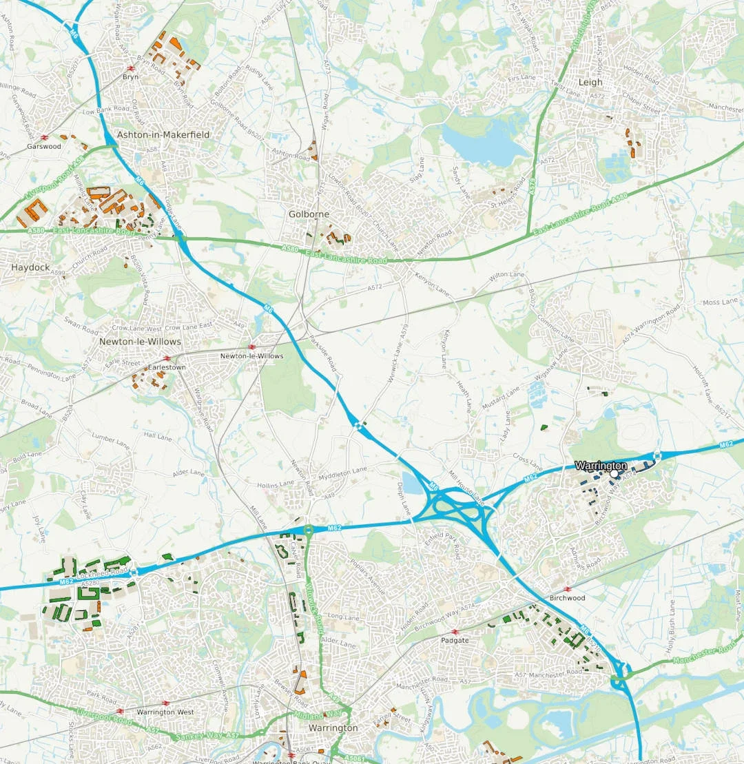
Travel times for industry
Aegis Energy, 2023
Isochrones showing access to target facilities across the UK
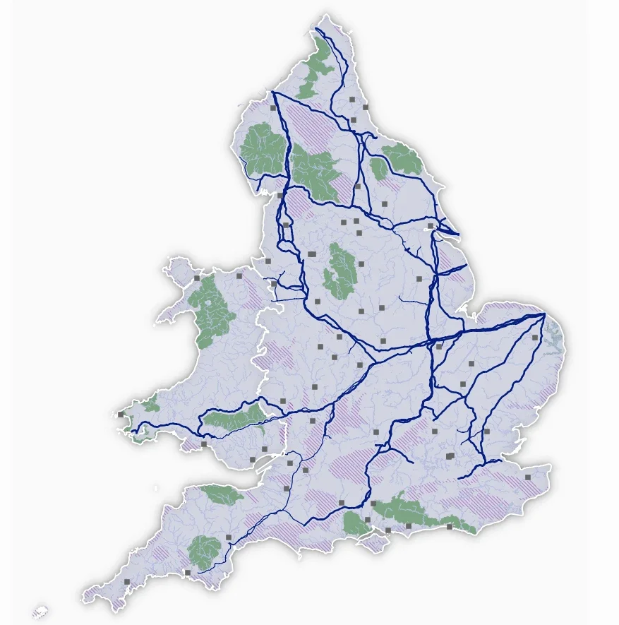
Infrastructure map in QGIS
Aegis Energy, 2022
UK gas pipelines and related infrastructure in one project
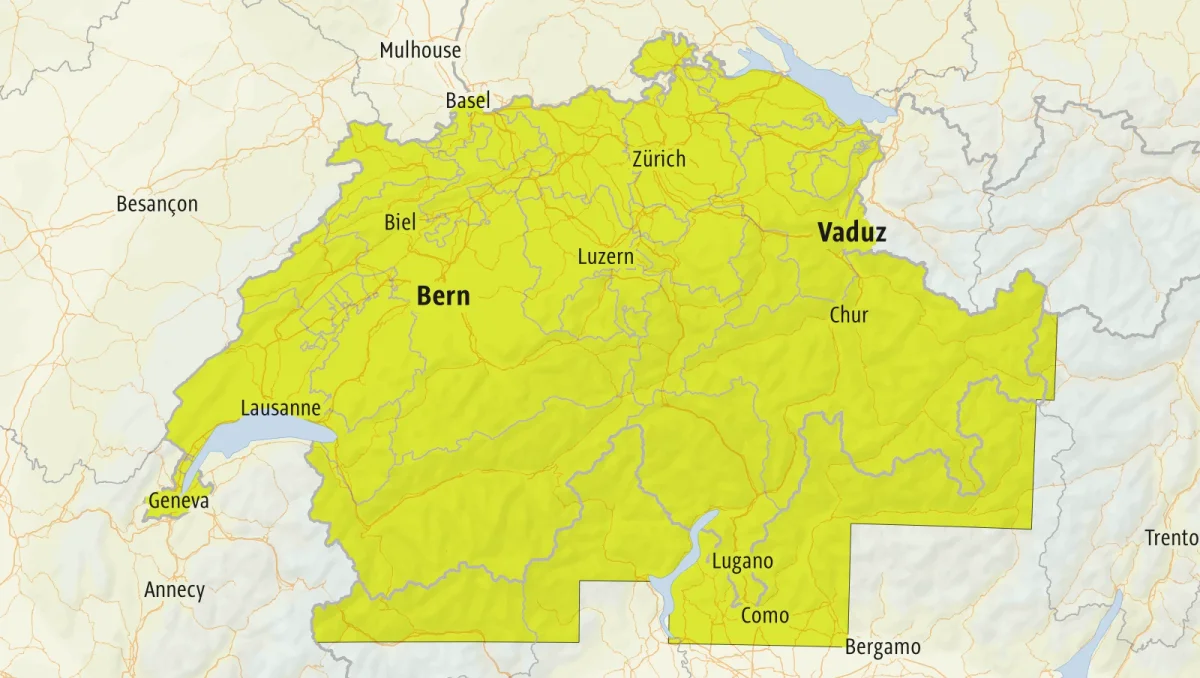
Automatic minimaps in QGIS
Outdooractive, 2021
Atlas-driven coverage maps, from days of work to minutes
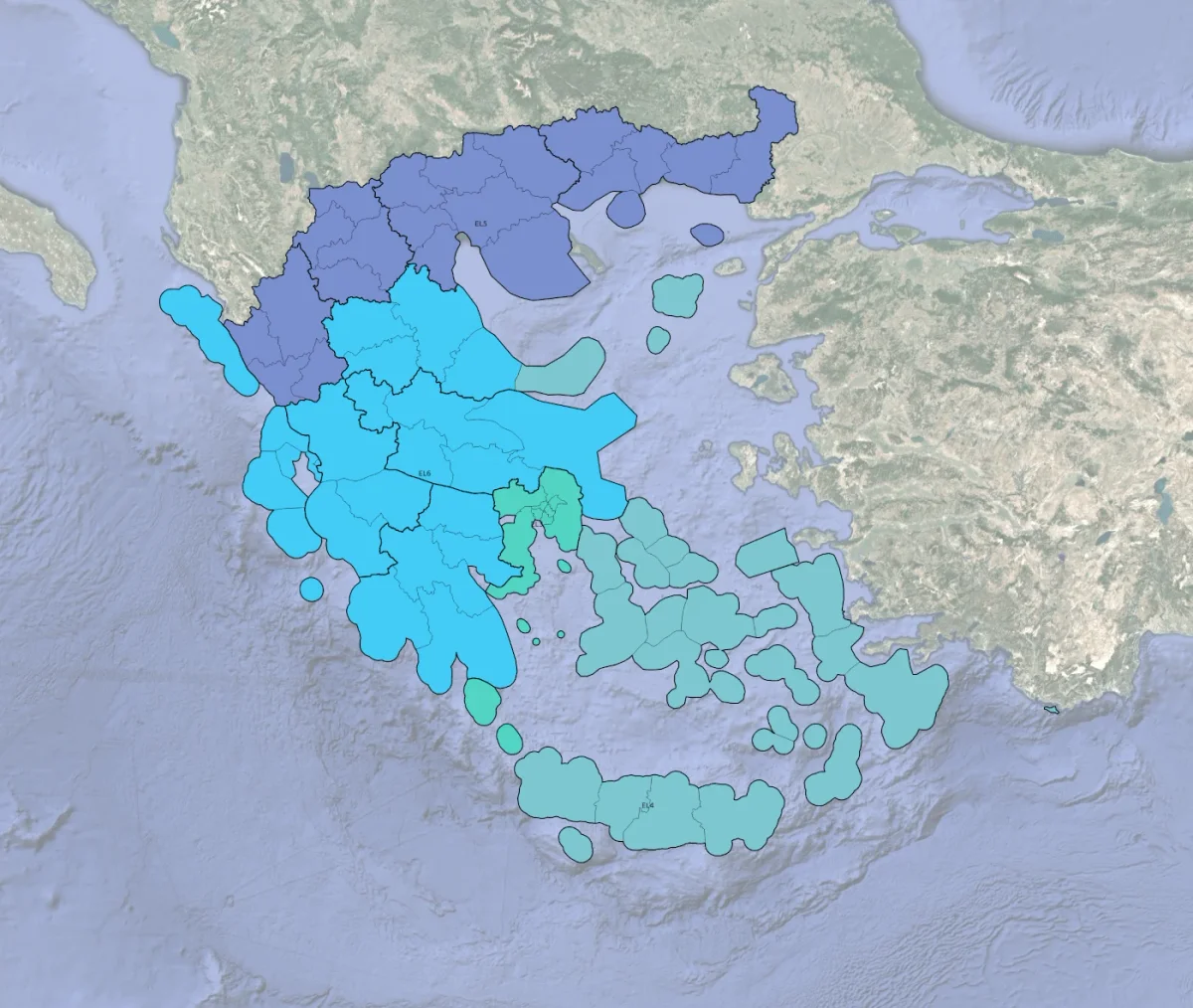
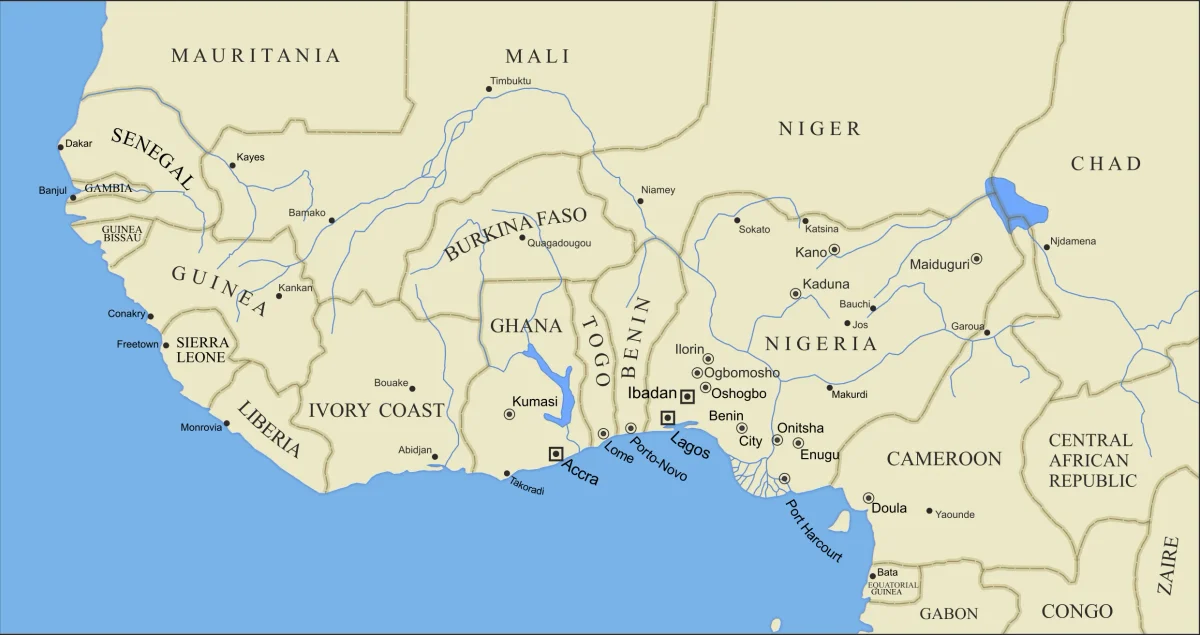
Tourism regions geoclassification
Outdooractive, 2021
Rebuilding the region hierarchy of a Greek travel guide
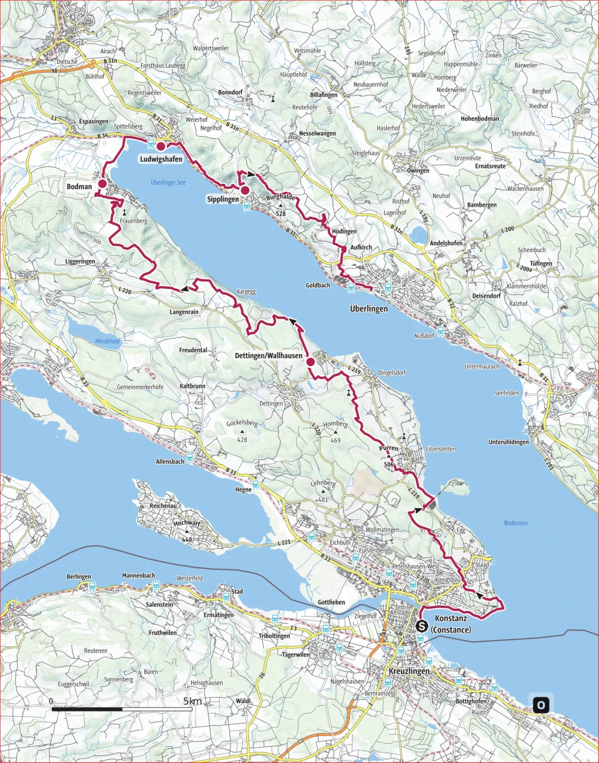
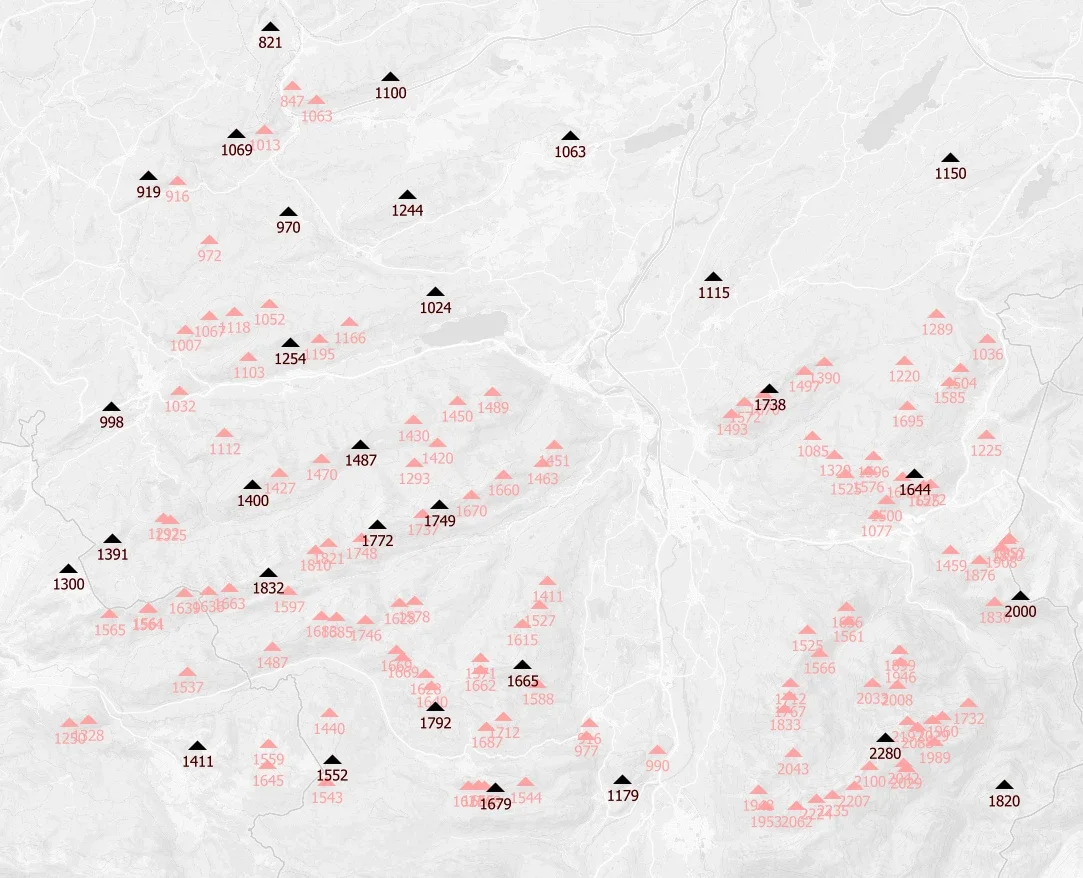
Activity maps for B2B printouts
Outdooractive, 2021
PDF maps and elevation profiles for print products
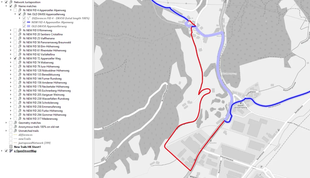
Geoprocessing tools for line networks
Outdooractive, 2020
A PyQGIS tool that checks new trails against the existing network
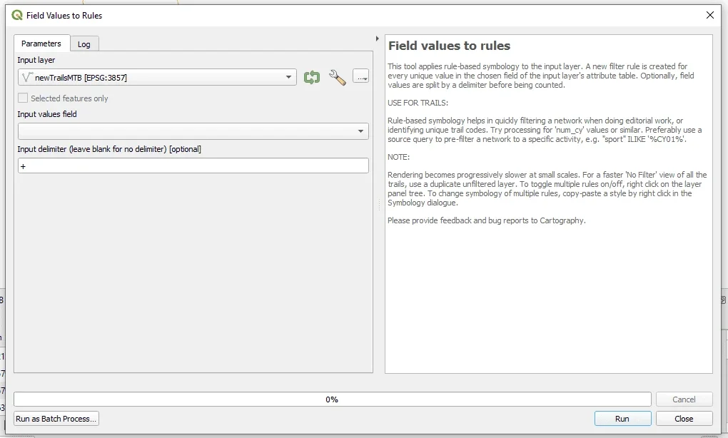
Productivity tools for QGIS
Outdooractive, 2020
In-house tools that cut editorial work for a cartography team
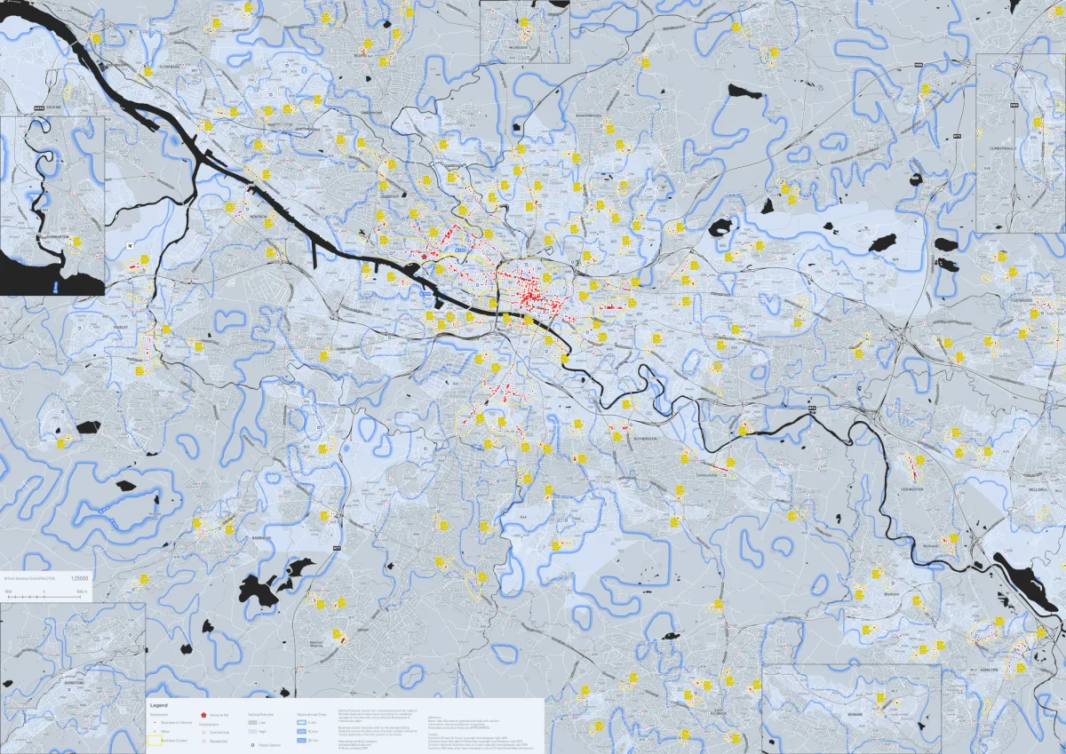
Market penetration map for a security provider
Verisure Glasgow, 2019
Ranking Glasgow areas by selling potential from open data
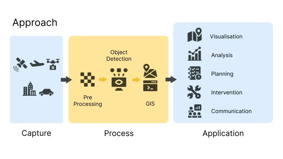
Mapping urban problems with AI
University of Glasgow, 2019
Published research on spotting urban problems in satellite imagery
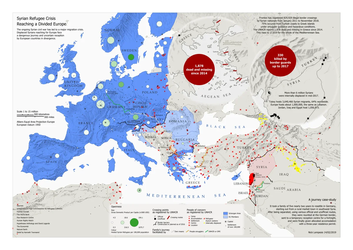
Immigration map with handmade shading
University of Glasgow, 2019
A3 storytelling map of the Syrian refugee crisis
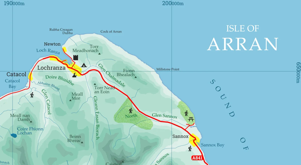
Cartographic process
University of Glasgow, 2018
Layout, labelling and symbology exercises from my MSc
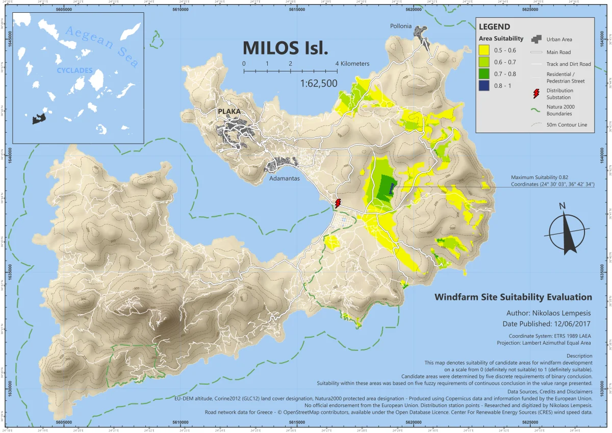
Windfarm siting algorithm
Coursera, 2017
Multi-criteria site search on two Greek islands, automated in ModelBuilder
Contact
Have a QGIS job in mind?