
Projects
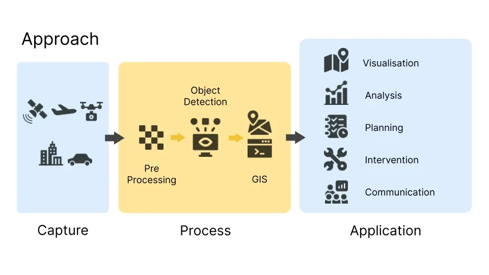
Mapping urban problems with AI
University of Glasgow, 2019
Published research on spotting urban problems in satellite imagery
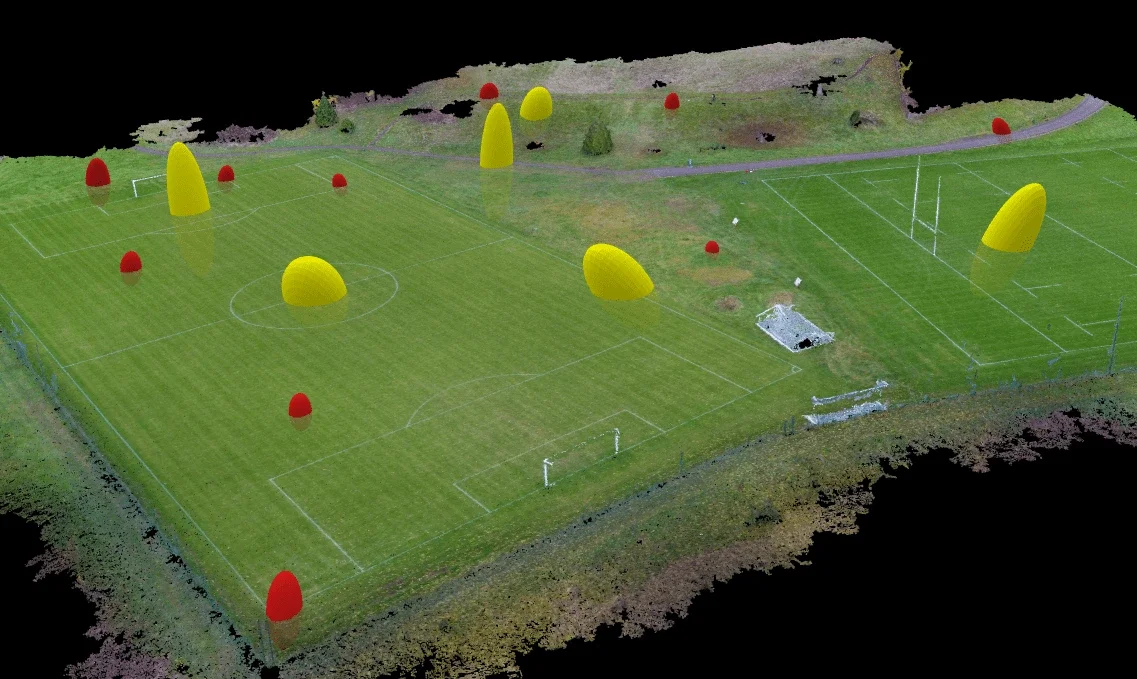
Structure from motion survey
University of Glasgow, 2019
Drone photogrammetry and a point cloud of a sports ground
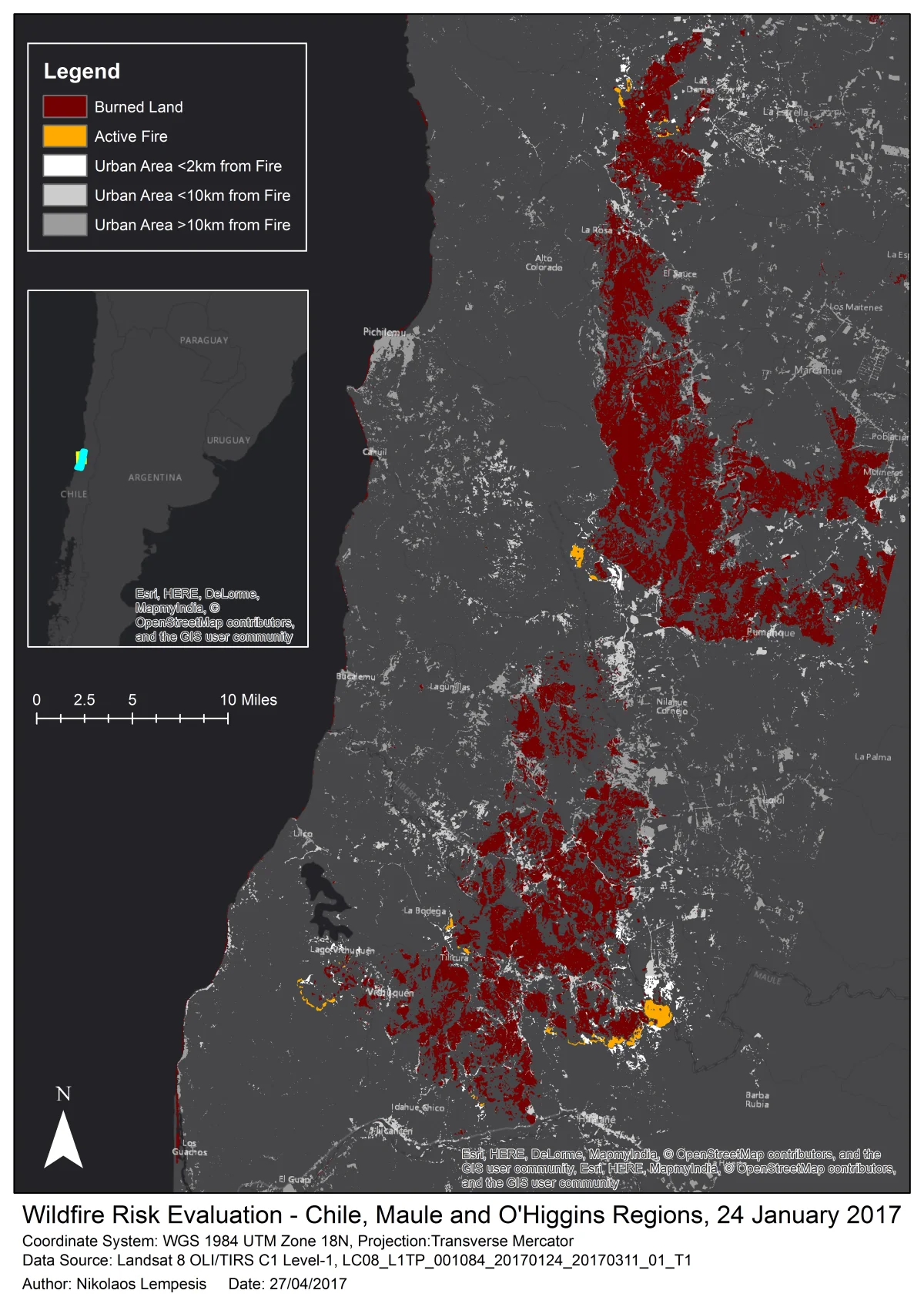
Automatic image classifications
2017
Wildfires in Chile and a shrinking lake in Malawi from satellite imagery
Contact
Have a Remote sensing job in mind?