
Geospatial data consulting
I design the spatial database and the routines that keep your location data consistent.
- Who it's for
- Teams keeping location data in spreadsheets or loose files, or whose data has outgrown its structure.
- Tools
- I use PostGIS, PostgreSQL, Python, QGIS and Supabase.
- How it is priced
- Fixed price for a defined piece of work, or EUR 50/hour while the problem is still being understood.
- How I work
- Six steps from brief to handover, with a written scope and price up front. I work remotely with clients in the USA and UK. See the steps
What you get
- Spatial database schema design
- Data cleaning, integration and update routines
- Spatial queries and views for apps and reporting
- Documentation your team can maintain
Work like this
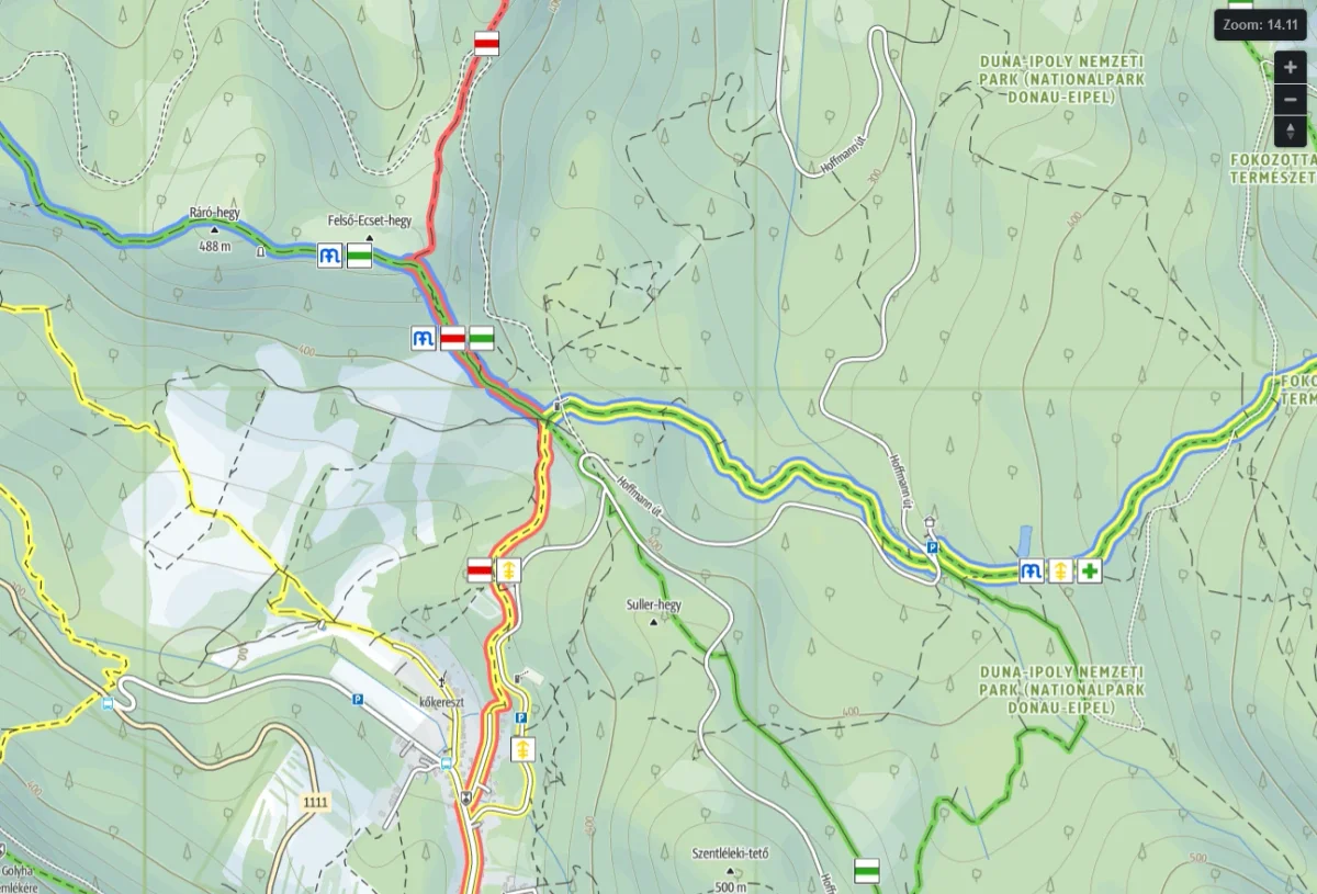
Metro-style hiking trails on the web
Outdooractive, 2021
Print-style coloured trail maps with Mapbox GL JS
Automatic minimaps in QGIS
Outdooractive, 2021
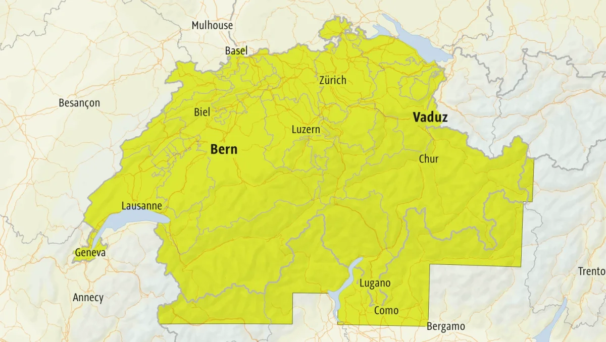
Atlas-driven coverage maps, from days of work to minutes
Contact
Tell me what you need and I will reply with next steps.