
Geospatial data automation
I automate the data preparation you repeat by hand, and flag exceptions for review.
- Who it's for
- Teams that merge sources, check differences and write reports by hand every week.
- Tools
- I use n8n, Python, PyQGIS, Node.js and PostGIS.
- How it is priced
- Quoted per pipeline. One recurring import or cleanup is small; a multi-source pipeline with monitoring is a larger project.
- How I work
- Six steps from brief to handover, with a written scope and price up front. I work remotely with clients in the USA and UK. See the steps
What you get
- Automated import, transform and export pipelines
- Quality checks that flag conflicts for review
- Scheduled reports and PDF map exports
- Self-hosted deployment where needed
Work like this
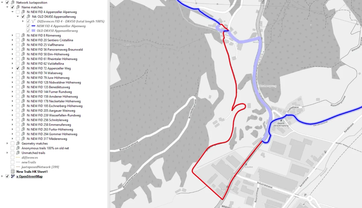
Geoprocessing tools for line networks
Outdooractive, 2020
A PyQGIS tool that checks new trails against the existing network
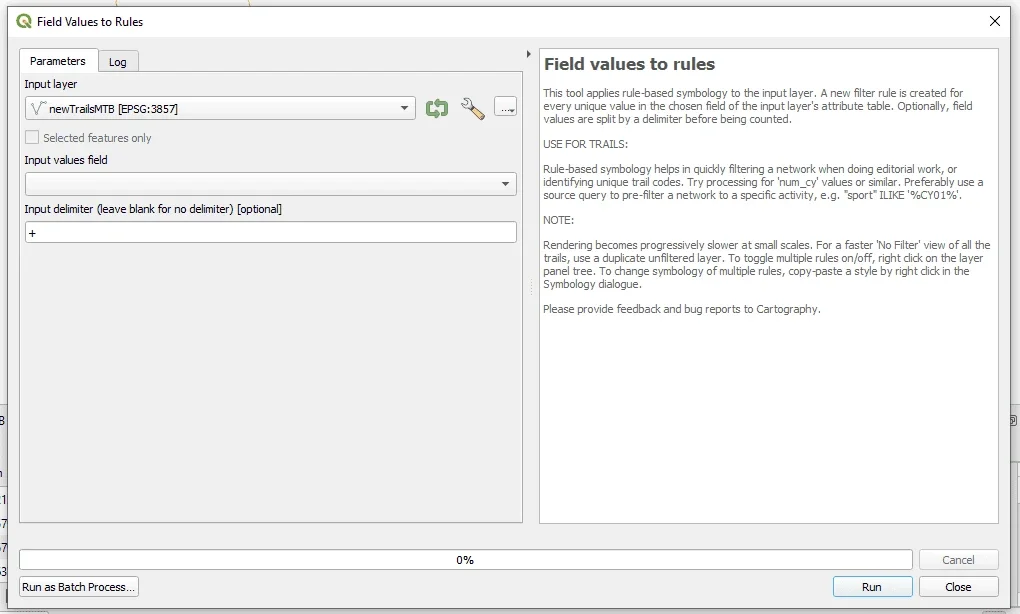
Productivity tools for QGIS
Outdooractive, 2020
In-house tools that cut editorial work for a cartography team
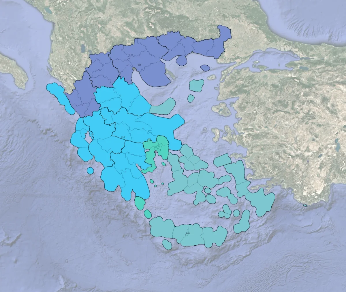
Tourism regions geoclassification
Outdooractive, 2021
Rebuilding the region hierarchy of a Greek travel guide
Contact
Tell me what you need and I will reply with next steps.