
Spatial analysis
I do the spatial analysis and mapmaking, so you do not need a full-time GIS specialist.
- Who it's for
- Infrastructure, energy, logistics and consultancy teams that need analysis or maps now, not a new hire.
- Tools
- I use QGIS, PyQGIS, Python and OpenStreetMap.
- How it is priced
- Quoted per project once the question and the data are clear. A single analysis or quick map can take a couple of days.
- How I work
- Six steps from brief to handover, with a written scope and price up front. I work remotely with clients in the USA and UK. See the steps
What you get
- Spatial analysis such as viewsheds, travel times and site selection
- Print and web-ready cartography
- Custom tools for repeated workflows
- Clean, documented datasets handed over with the method
Work like this
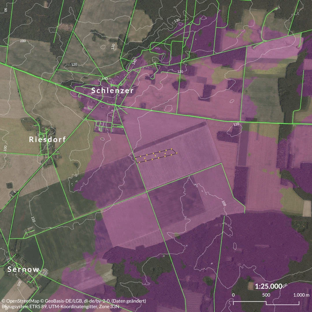
Solar park visibility analysis
Blueberry Energy, 2024
Viewshed maps for a planning application in Brandenburg
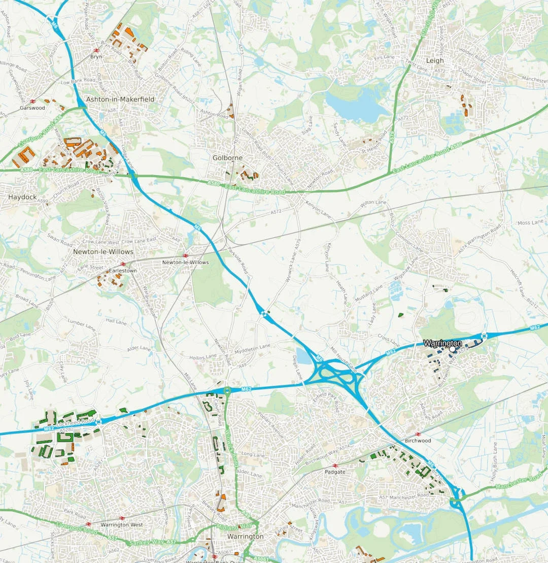
Travel times for industry
Aegis Energy, 2023
Isochrones showing access to target facilities across the UK
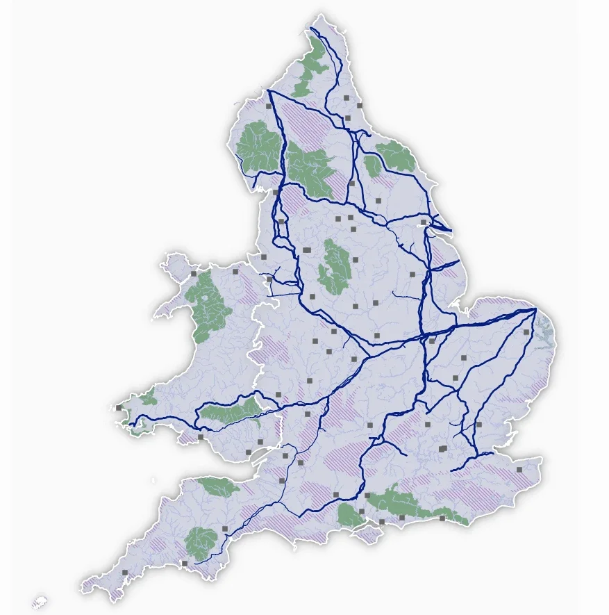
Infrastructure map in QGIS
Aegis Energy, 2022
UK gas pipelines and related infrastructure in one project
Contact
Tell me what you need and I will reply with next steps.